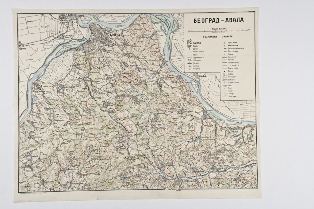
Military Geographical Institute,
Belgrade,
from 1901 to 1950
Paper, full colour print; 47 × 60 cm;
scale: 1:75,000;
u. r.: sheet title in Cyrillic script: ‘BEOGRAD – AVALA’, map key and scale; l. l.: ‘Reproduktovano u Vojnom Geografskom Institutu. Beograd.’; round seal on reverse of map: ‘NEZAVISNA DRŽAVA HRVATSKA / MINISTARSTVO ORUŽANIH SNAGA / RATNI ARHIV’