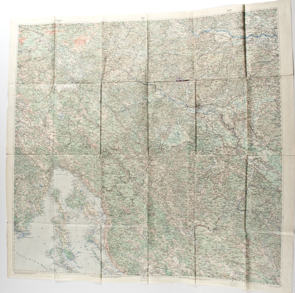
‘Ljubljana’–‘Celje’–‘Zagreb’ Sheet from the Special Topographic Map of the Austro-Hungarian Monarchy
Military Geographical Institute,
Belgrade,
1917
Paper, full colour print; 117 × 124 cm;
scale: 1:200,000;
name of sheet above frame: ‘LJUBLJANA’, ‘CELJE’, ‘ZAGREB’; below frame: ‘Izrađeno i štampano u Topografskom Odelenju u Kartografskoj radionici / Vrh. Komande, po najnovijim našim i stranim podacima.’
The combined sheets ‘Ljubljana’, ‘Celje’, and ‘Zagreb’ were most likely taken from the topographic map of the Austro-Hungarian Monarchy (‘Spezialkarte der Osterreichisch – Ungarischen Monarchie’) and reprinted in the 1912–1920 period.
Izvori / literatura: first publication
error: Sadržaj je zaštićen!
Hrvatski povijesni muzej
‘Ljubljana’–‘Celje’–‘Zagreb’ Sheet from the Special Topographic Map of the Austro-Hungarian Monarchy
Description:
The combined sheets ‘Ljubljana’, ‘Celje’, and ‘Zagreb’ were most likely taken from the topographic map of the Austro-Hungarian Monarchy (‘Spezialkarte der Osterreichisch – Ungarischen Monarchie’) and reprinted in the 1912–1920 period.