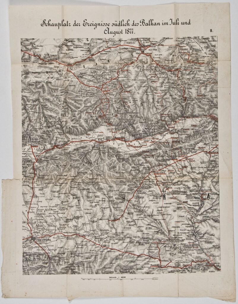
Map of Austro-Hungarian Military Routes in the Southern Balkans Area in July and August 1877
Imperial and Royal Military Geographical Institute,
Vienna,
from 1850 to 1900
Paper, print; 54,3 × 43,5 cm;
scale: 1:300,000;
title: ‘Schauplatz der Ereignisse südlich des Balkan im Juli und / August 1877.’; u. r.: sheet label: ‘B.’; stamp with provenance on reverse of map: ‘ARHEOL.-HISTOR. / NAR. MUZEJ / ZAGREB’
Inherited from the Archaeology and History Department of the National Museum in Zagreb
Overview map with marked Austro-Hungarian military routes in Southeastern Europe (the ‘Southern Balkans’) during July and August 1877. According to a secret agreement made in 1877, which preceded the Congress of Berlin (13 June to 13 July 1878), Russia gave the Austro-Hungarian Monarchy the right to occupy the territory of Bosnia and Herzegovina, excluding the Sanjak of Novi Pazar, which remained under Ottoman rule. Resolving the economic and political situation and the return of numerous refugees to the territory of Bosnia and Herzegovina (related to the revolts of 1834–1878) were only some of the major goals of the Austro-Hungarian occupation of Bosnia and Herzegovina.
Izvori / literatura: Tominac: 2020, p. 243
error: Sadržaj je zaštićen!
Hrvatski povijesni muzej
Map of Austro-Hungarian Military Routes in the Southern Balkans Area in July and August 1877
Description:
Overview map with marked Austro-Hungarian military routes in Southeastern Europe (the ‘Southern Balkans’) during July and August 1877. According to a secret agreement made in 1877, which preceded the Congress of Berlin (13 June to 13 July 1878), Russia gave the Austro-Hungarian Monarchy the right to occupy the territory of Bosnia and Herzegovina, excluding the Sanjak of Novi Pazar, which remained under Ottoman rule. Resolving the economic and political situation and the return of numerous refugees to the territory of Bosnia and Herzegovina (related to the revolts of 1834–1878) were only some of the major goals of the Austro-Hungarian occupation of Bosnia and Herzegovina.