Author: Böheim von Heldensinn,
Imperial and Royal Military Geographical Institute,
Vienna,
from 1850 to 1900
Paper, print; 38,7 × 36,7 cm;
scale: 1:50,000;
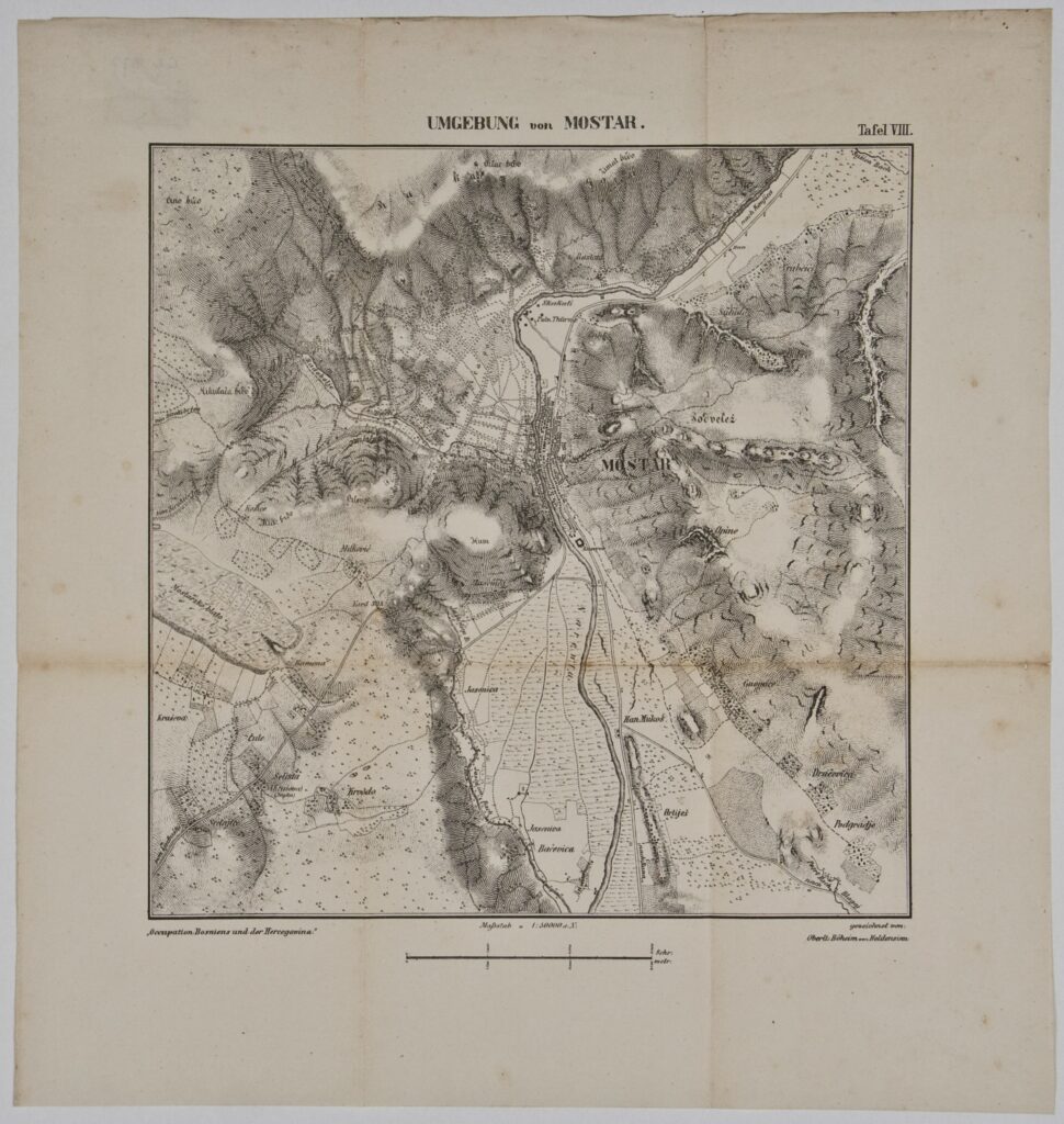
title: ‘UMGEBUNG / von / MOSTAR.’; u. r.: label: ‘Tafel VIII.’; l. l.: note: ‘Die Occupation Bosniens und der Hercegovina’; l. r.: note on author: ‘gezeichnet von: / Oberlt: Böheim von Heldensinn’; stamp with provenance on reverse of map: ‘ARHEOL.-HISTOR. / NAR. MUZEJ / ZAGREB’
Inherited from the Archaeology and History Department of the National Museum in Zagreb
Detailed map depicting Mostar and its surroundings. During the Austro-Hungarian occupation of Bosnia and Herzegovina, the Austro-Hungarian army, following the engagements near Čitluk on 5 August 1878, entered Mostar and forced the rebel forces to withdraw towards the southeast of Bosnia and Herzegovina.
Izvori / literatura: Tominac: 2020, p. 251
error: Sadržaj je zaštićen!
Hrvatski povijesni muzej
Map of the Surroundings of Mostar
Description:
Detailed map depicting Mostar and its surroundings. During the Austro-Hungarian occupation of Bosnia and Herzegovina, the Austro-Hungarian army, following the engagements near Čitluk on 5 August 1878, entered Mostar and forced the rebel forces to withdraw towards the southeast of Bosnia and Herzegovina.