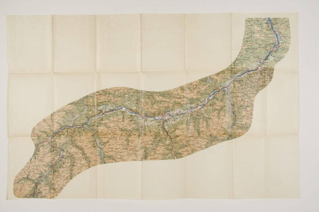
Overview map of the Inn river depicting its course along the Austro-Hungarian and German border area, from Martinsbrücke to Flintsbach and Passau, together with the Salzach river, a right-bank tributary of the Inn, from Krimml to Salzburg.
Izvori / literatura: first publication
error: Sadržaj je zaštićen!
Hrvatski povijesni muzej
Overview Map of the Inn River
Description:
Overview map of the Inn river depicting its course along the Austro-Hungarian and German border area, from Martinsbrücke to Flintsbach and Passau, together with the Salzach river, a right-bank tributary of the Inn, from Krimml to Salzburg.
Inventory number:
HPM/PMH-24829
Overview Map of the Inn River
Description:
Overview map of the Inn river depicting its course along the Austro-Hungarian and German border area, from Martinsbrücke to Flintsbach and Passau, together with the Salzach river, a right-bank tributary of the Inn, from Krimml to Salzburg.
Inventory number:
HPM/PMH-24830
Overview Map of the Inn River
Description:
Overview map of the Inn river depicting its course along the Austro-Hungarian and German border area, from Martinsbrücke to Flintsbach and Passau, together with the Salzach river, a right-bank tributary of the Inn, from Krimml to Salzburg.