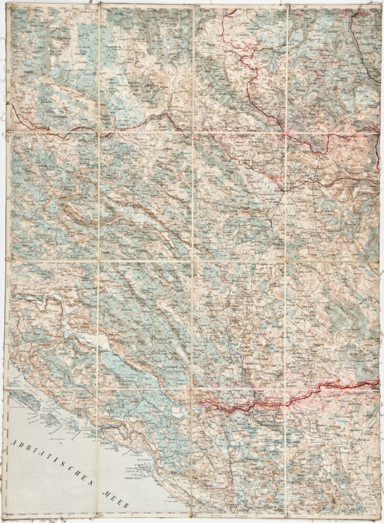
This topographic map sheet in 1:200,000 scale depicts a part of southern Croatia, the administrative-territorial area of Dubrovnik from Slano in the north to Čilipi in the south, with the hinterland and national border. The map also depicts southern Bosnia and Herzegovina.
Izvori / literatura: first publication
error: Sadržaj je zaštićen!
Hrvatski povijesni muzej
Topographic Map of Dubrovnik
Description:
This topographic map sheet in 1:200,000 scale depicts a part of southern Croatia, the administrative-territorial area of Dubrovnik from Slano in the north to Čilipi in the south, with the hinterland and national border. The map also depicts southern Bosnia and Herzegovina.