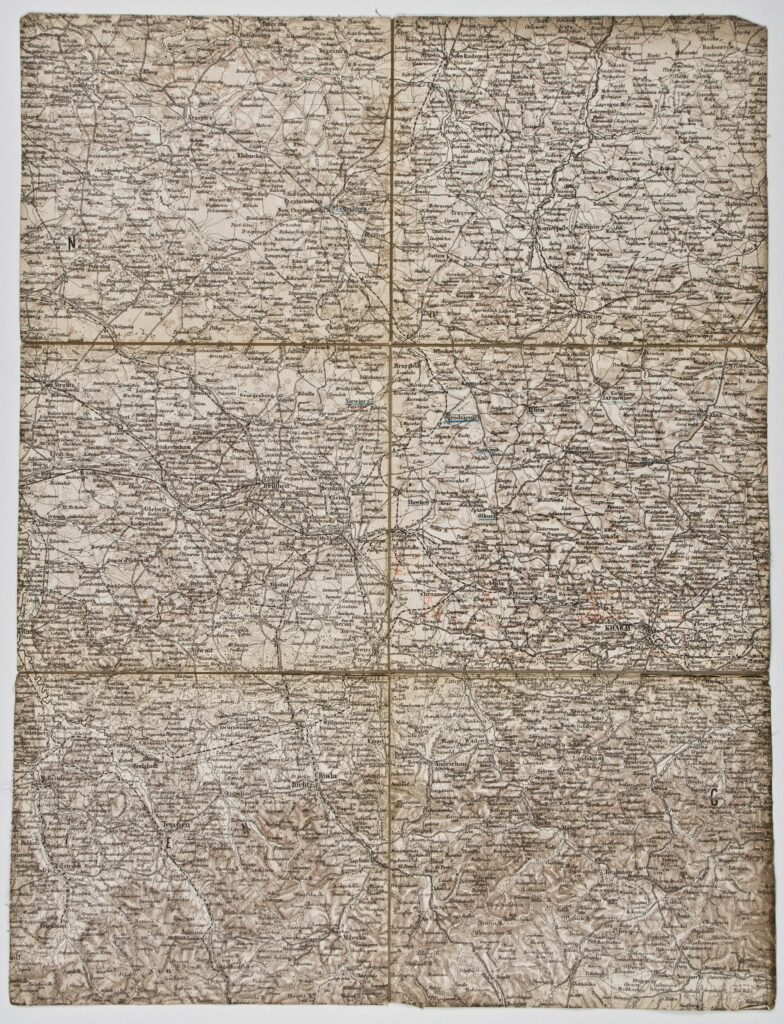
This topographic map sheet depicts the broader Krakow area and the surrounding settlements. The toponyms on the map are written in the language of the depicted area (Polish), while a somewhat smaller number are also written in German (e.g. Krakau, Teschen, Beuthen…).
Izvori / literatura: first publication
error: Sadržaj je zaštićen!
Hrvatski povijesni muzej
Topographic Map of Krakow and its Surroundings
Description:
This topographic map sheet depicts the broader Krakow area and the surrounding settlements. The toponyms on the map are written in the language of the depicted area (Polish), while a somewhat smaller number are also written in German (e.g. Krakau, Teschen, Beuthen…).