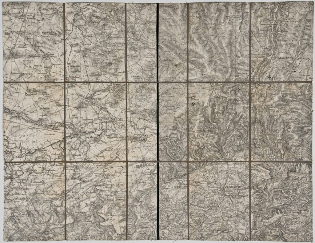
The town Laun (today Louny) and its surroundings in northern Bohemia are depicted on this sheet of a special (topographic) map of the Austro-Hungarian Monarchy.
Izvori / literatura: first publication
error: Sadržaj je zaštićen!
Hrvatski povijesni muzej
Topographic Map of Laun and its Surroundings
Description:
The town Laun (today Louny) and its surroundings in northern Bohemia are depicted on this sheet of a special (topographic) map of the Austro-Hungarian Monarchy.