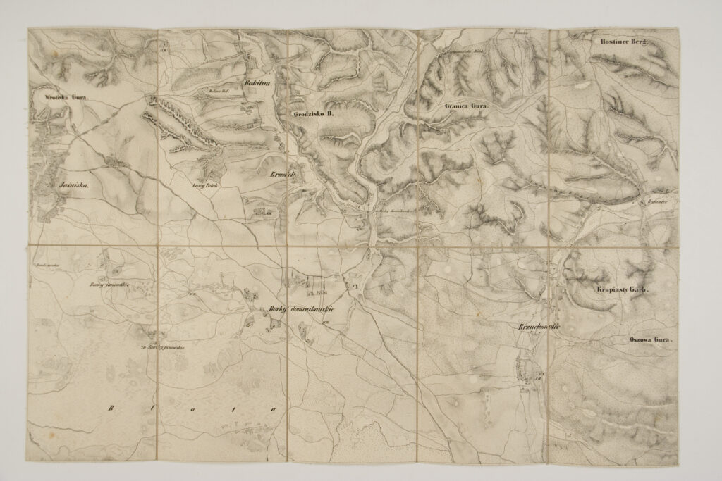
Imperial and Royal Military Geographical Institute,
Vienna,
from 1850 to 1900
Container: cardboard, glued; map: ,
paper on canvas, print; 42 × 63 cm;
scale: expressed in paces (2,500 paces); ;
title on volume cover: ‘Lemberg / mit / der Umgebung’; labels on front side of map ‘I.’ – ‘IX.’
Inherited from the War Archive and Museum of the ISC