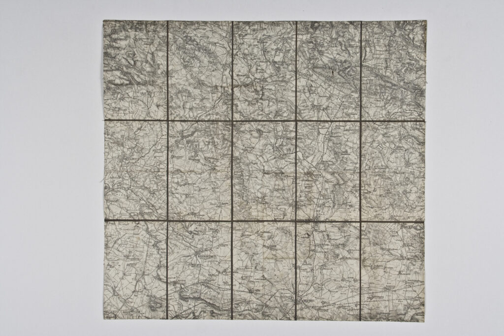
Paper on canvas, print; 47 × 50,5 cm; scale: 1:75,000; on reverse of map: ‘K.u.k. militär-geographisches Institut. / Vervielfältigung vorbehalten.’
Inherited from the War Archive and Museum of the ISC
HPM/PMH-19754
This special (topographic) map sheet depicts northern Bohemia and the surrounding towns, such as Jičín and Chulmetz (today Chlum u Třeboně)