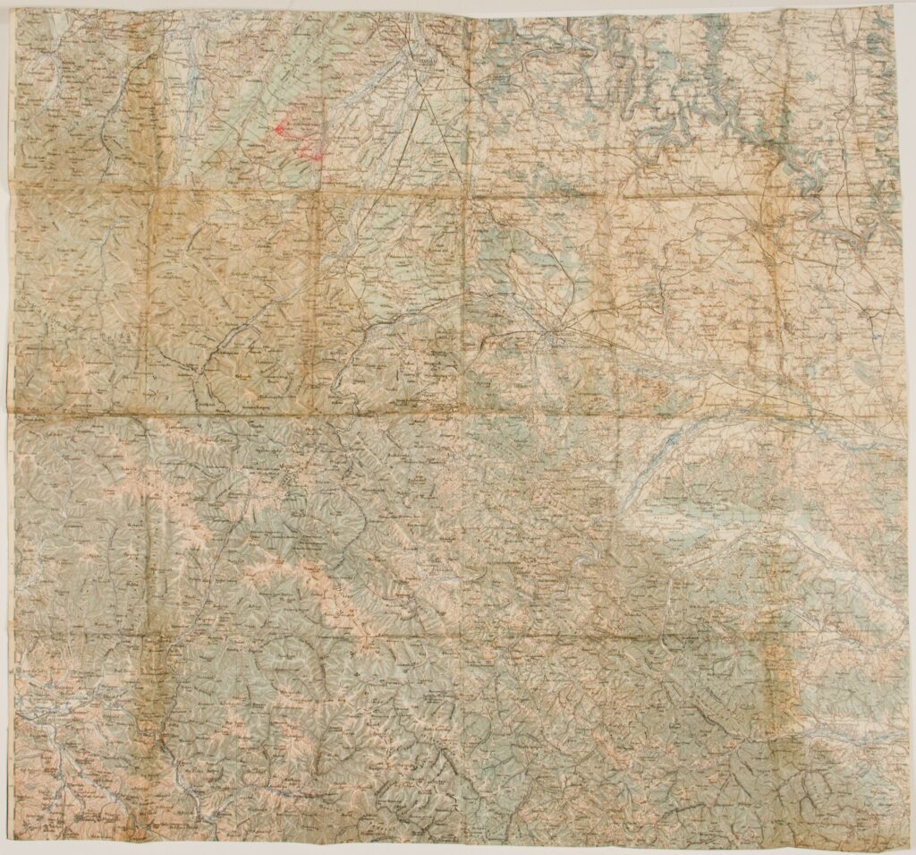
This topographic map of northwestern Romania depicts the area of Máramarossziget (today Sighetu Marmației). During the 19th and early 20th centuries, Sighet was the capital of the Máramaros District in the Austro-Hungarian Monarchy. After the end of World War I, the territory of Transylvania became an integral part of Romania.
Izvori / literatura: Sighet. Holocaust Encyclopedia, https://encyclopedia.ushmm.org/content/en/article/sighet (4 June 2021)
error: Sadržaj je zaštićen!
Hrvatski povijesni muzej
Topographic Map of Northwestern Romania
Description:
This topographic map of northwestern Romania depicts the area of Máramarossziget (today Sighetu Marmației). During the 19th and early 20th centuries, Sighet was the capital of the Máramaros District in the Austro-Hungarian Monarchy. After the end of World War I, the territory of Transylvania became an integral part of Romania.