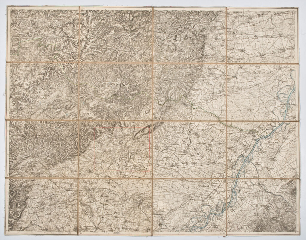
Paper on canvas, lithography; 58,5 × 75 cm; scale: 1:75,000; on reverse of map: map nomenclature and round stamp: ‘K.K. WARASDINER LFN. INFANT. REGIMENT No. 16 / OFFICIERS / BIBLIOTHEK’
Inherited from the War Archive and Museum of the ISC
HPM/PMH-19742
This special (topographic) map sheet depicts the western part of Germany along the Rhine, the Hagenau–Landau area immediately along the French border.