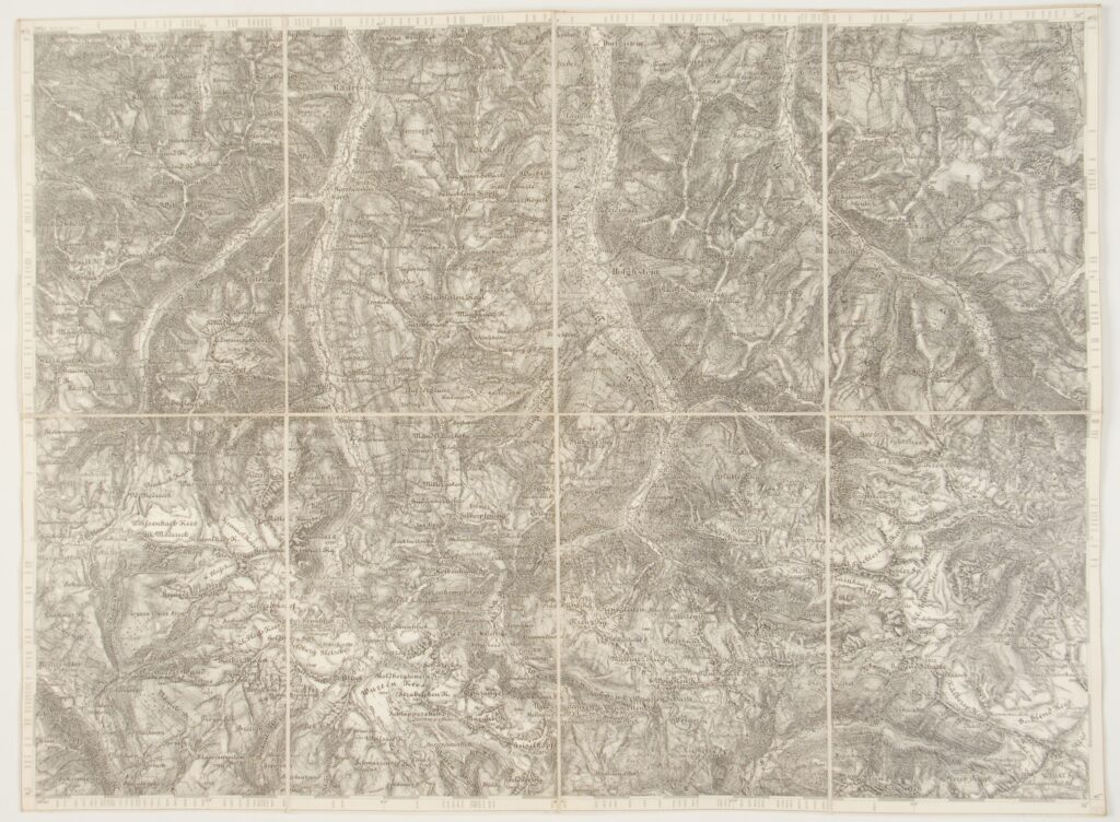
Publisher: Rudolf Lechner (Wilh. Müller),
publishing committee: Imperial and Royal Military Geographical Institute,
Vienna,
1910
Paper on canvas, printtisak; 39 × 52,5 cm;
scale: 1:75,000;
sheet title and nomenclature on reverse of map: ‘ZONE 17 KOL. VIII. / HOFGASTEIN’, map key, overview sheet of special map of alpine area in 1:75,000 scale
Inherited from the War Archive and Museum of the ISC