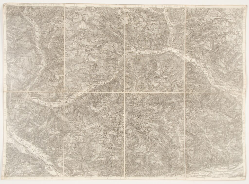
Paper on canvas, print; 39 × 52,5 cm; scale: 1:75,000; sheet title and nomenclature on reverse of map: ‘ZONE 18 KOL. VIII. / MÖLL THAL’, map key, overview sheet of special map of alpine area in 1:75,000 scale
Inherited from the War Archive and Museum of the ISC
HPM/PMH-24814
This special (topographic) map sheet depicts the alpine area of the Möll Thal mountain region.