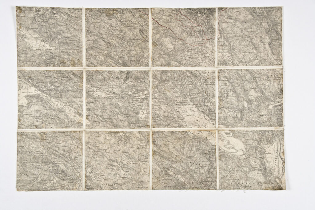
Paper on canvas, print; 38,5 × 56 cm; scale: undefined;
Donated by the Museum of the Revolution of the Peoples of Croatia in 1980
HPM/PMH-30760
This topographic map sheet depicts the area of southern Bosnia and Herzegovina, from Grude in the west to Mostar in the east, with numerous toponyms.