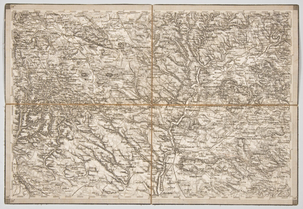
Topographic map sheet depicting a part of central Czechia with the surroundings of the towns Jung Bunzlau (today Mladá Boleslav) and Melnik (today Mĕlník).
Izvori / literatura: first publication
error: Sadržaj je zaštićen!
Hrvatski povijesni muzej
Topographic Map of the Surroundings of Jung Bunzlau and Melnik
Description:
Topographic map sheet depicting a part of central Czechia with the surroundings of the towns Jung Bunzlau (today Mladá Boleslav) and Melnik (today Mĕlník).