Author: Josef von Scheda,
Imperial and Royal Military Geographical Institute,
Vienna,
1859
Paper on canvas, print; 40,5 × 49,5 cm;
scale: undefined;
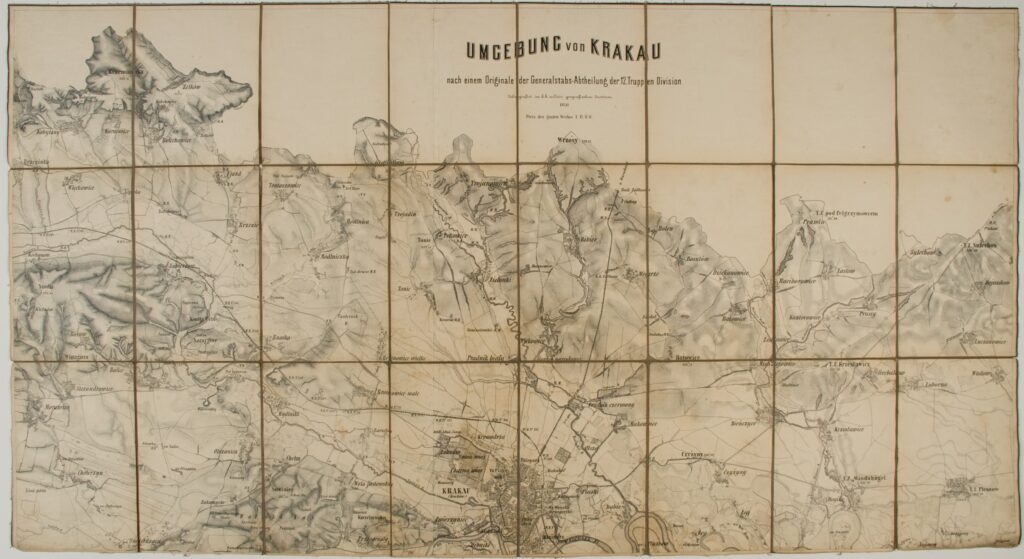
map title: ‘UMGEBUNG von Krakau / nach einem Originale der Generalstabs-Abtheilung der 12. Truppen Division’; data on printing and publisher below title: ‘Litografirt im k.k. militär-geografischen Institute. / 1870.’; note below title: ‘Preis des ganzen Werkes 1 fl. Ö. W.’
Received from the 16th Imperial and Royal Varaždin Infantry Regiment
Topographic map sheet depicting the surroundings of Kraków, made according to the original cartographical depiction by the section of the 12th Troop Division’s General Staff.
Izvori / literatura: first publication
error: Sadržaj je zaštićen!
Hrvatski povijesni muzej
Topographic Map of the Surroundings of Kraków
Description:
Topographic map sheet depicting the surroundings of Kraków, made according to the original cartographical depiction by the section of the 12th Troop Division’s General Staff.
Inventory number:
HPM/PMH-9916/a
Topographic Map of the Surroundings of Kraków
Description:
Topographic map sheet depicting the surroundings of Kraków, made according to the original cartographical depiction by the section of the 12th Troop Division’s General Staff.