HRVATSKI POVIJESNI
MUZEJ

Topographic Map of the Surroundings of Lezajsk

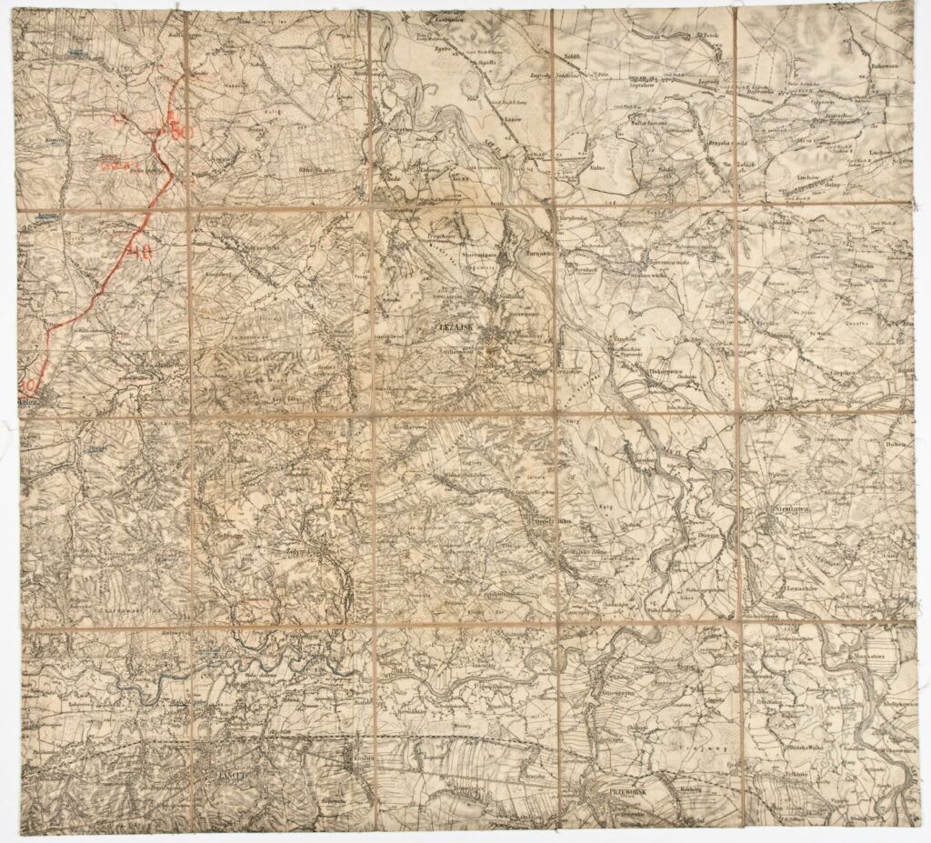
Imperial and Royal Military Geographical Institute, Vienna, from 1850 to 1900

Paper on canvas, print; 27,5 × 39,5 cm; scale: 1:75,000; on reverse of map: ‘Lezajsk’; u. l.: straight line drawn in red pencil, with the numbers ‘30’, ‘40’, and ‘50’.

Inherited from the War Archive and Museum of the ISC

HPM/PMH-19765

This special (topographic) map sheet depicts the area of southeastern Poland, with the town Lezajsk (today Leżajsk). 

Izvori / literatura: first publication
error: Sadržaj je zaštićen!

Hrvatski povijesni muzej