Imperial and Royal Military Geographical Institute,
Vienna,
1882
Paper on canvas, print; 51 × 66 cm;
scale: 1:75,000;
title on reverse of map: ‘UMGEBUNGS-KARTE von LINZ / im Maſsstabe 1: 75.000.’, note: ‘K.k. militär-geografisches Institut. / Vervielfältigung vorbehalten.’; ‘General-Depot: R. Lechner's k.k. Hof-und Universitäts-Buchandlung Wien, Graben 31.’
Inherited from the War Archive and Museum of the ISC
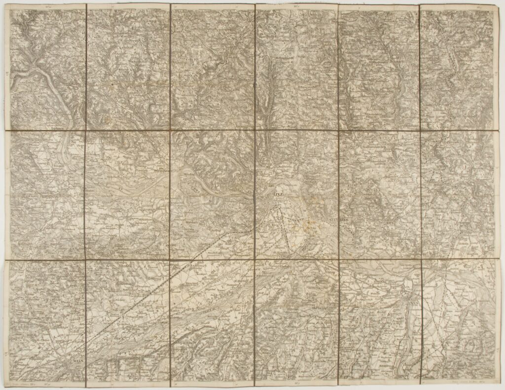
This topographic map consists of four sheets of a special map of the Austro-Hungarian Monarchy (‘Spezialkarte der Osterreichisch-Ungarischen Monarchie’) and depicts the surroundings of the city of Linz.
Izvori / literatura: first publication
error: Sadržaj je zaštićen!
Hrvatski povijesni muzej
Topographic Map of the Surroundings of Linz
Description:
This topographic map consists of four sheets of a special map of the Austro-Hungarian Monarchy (‘Spezialkarte der Osterreichisch-Ungarischen Monarchie’) and depicts the surroundings of the city of Linz.