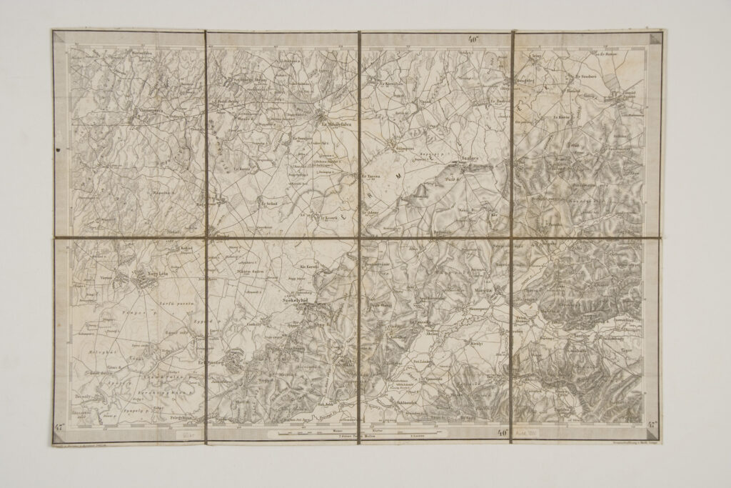
Topographic Map of the Surroundings of Margita and Székelyhíd
Production: Assistant Jrblich; shading: Lieutenant Lampe; publisher: Imperial and Royal Military Geographical Institute,
Vienna,
1880
Paper on canvas, print; 28 × 41 cm;
scale: 1:144,000;
on reverse of map: sheet title and nomenclature: ‘L7 / Umgebungen von / Margita und Székelyhid’, and note: ‘K.k. militär-geografisches Institut. / Vervielfältigung vorbehalten.’; ‘General=Depot: R. Lechner's k.k. Hof=und Universitäts-Buchandlung Wien, Graben 31.’
Inherited from the War Archive and Museum of the ISC