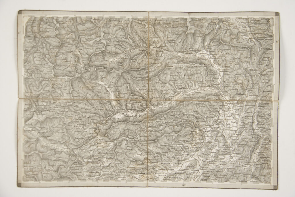
Paper on canvas, print; 27 × 39,5 cm; scale: undefined; on reverse of map: ‘Umgebungs von St Veit und Friesach’
Inherited from the War Archive and Museum of the ISC
HPM/PMH-24812
Topographic map sheet depicting the surroundings of St Veit and Friesach (today Sankt Veit an der Glan and Friesach).