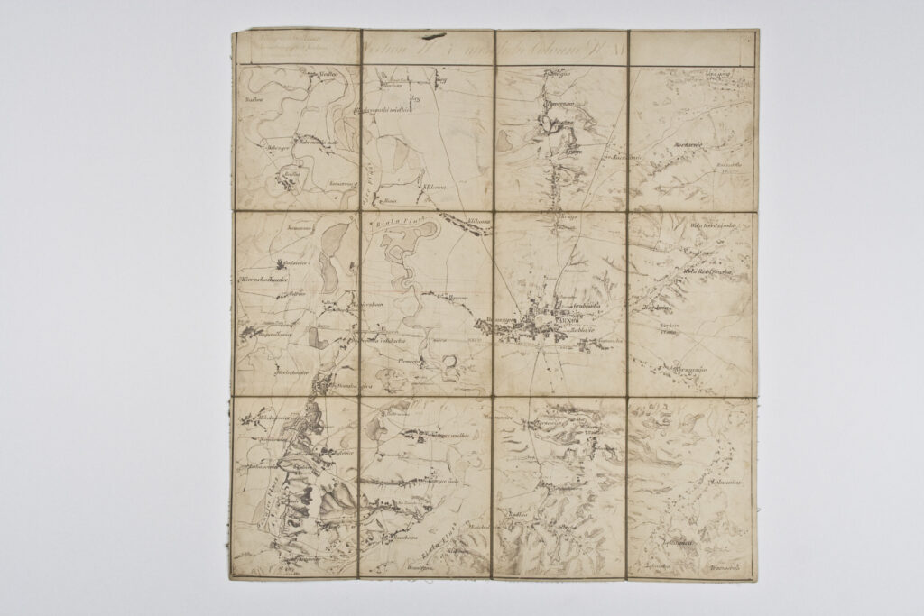
Topographic Map of the Surroundings of Tarnów (Galicia)
Imperial and Royal Military Geographical Institute,
Vienna,
from 1850 to 1900
Paper on canvas, print; 57 × 54,5 cm;
scale: undefined;
u. r.: ‘Königreich Galizien / Veri(?)ultungsijebiel Krakau / Kriex Krakau, Tarnow’; nomenclature in upper middle: ‘Section No 7 (?) Colonne No XI’
Inherited from the War Archive and Museum of the ISC