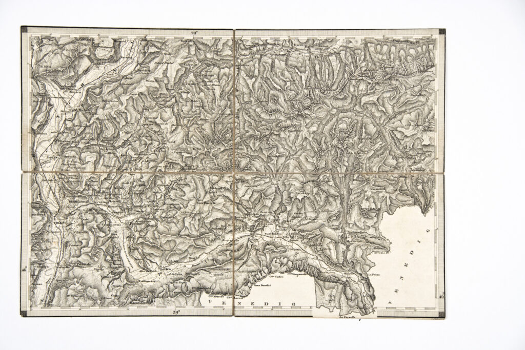
Special (topographic) map sheet of the city Trento with its surroundings (e.g. Salorno). The map also depicts the relief forms of northern Italy and its railway network.
Izvori / literatura: first publication
error: Sadržaj je zaštićen!
Hrvatski povijesni muzej
Topographic Map of the Surroundings of Trento
Description:
Special (topographic) map sheet of the city Trento with its surroundings (e.g. Salorno). The map also depicts the relief forms of northern Italy and its railway network.