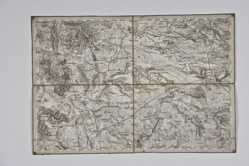
Paper on canvas, print; 27 × 39,4 cm; ; scale: undetermined; title on reverse of map: ‘Umgebungen von Znaym’
Found in the Museum
HPM/PMH-10035
Topographic map sheet with the surroundings of Znaym (today Znojmo) in southern Bohemia, depicting the relief forms and traffic network.