HRVATSKI POVIJESNI
MUZEJ

Topographic Map of Theresienstadt

Imperial and Royal Military Geographical Institute, Vienna, from 1850 to 1900

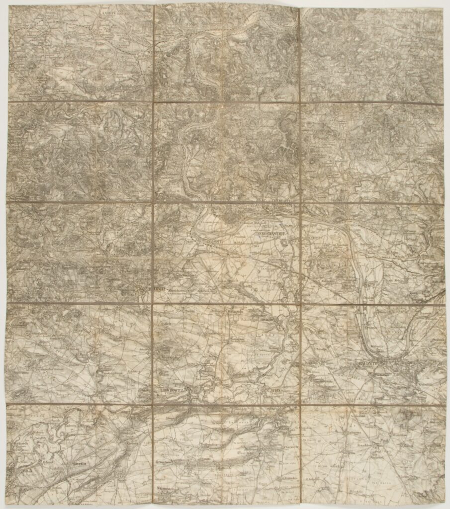
Paper on canvas, print; 53,5 × 47 cm; scale: 1:75,000;

Inherited from the War Archive and Museum of the ISC

HPM/PMH-24796

Special (topographic) map sheet depicting Theresienstadt (today Terezín) and the surrounding towns.

Izvori / literatura: first publication
error: Sadržaj je zaštićen!

Hrvatski povijesni muzej