Container: cardboard, glued; maps, paper, print, full colour print; from 22.2 x 40 cm to 42.3 x 43.6 cm; scale: 1:75,000, 1:100,000, 1:200,000, 1:8,000,000; on reverse of container: ‘KRIEGSKARTEN.’; u. l. on all map sheets: ‘Mittheilungen des k. und k. militär-geographischen Institutes, Band XX, 1900.’; titles and nomenclatures of individual sheets: ‘Speciakarte 1:75 000, Auflage 1901’, ‘Specialkarte auf 1:100 000 verkleinert’, ‘Aus der Specialkarte 1:75 000 / Zone 16, Col. VI, Rattenberg’, ‘Anwendbarkeit der verschiedenen Maßstäbe bei der Kriegskarte.’, ‘Karst-Darstellung’, ‘Karte 1:150 00’, ‘Generalkarte 1:200 000’; u. r. on individual map sheets: ‘Tafel 7.’, ‘Tafel 10.’, ‘Tafel 9.’, ‘Tafel 8.’, ‘Tafel 11.’; l. r. on individual map sheets: ‘K.u.k. militär-geographisches Institut. / Vervielfältigung vorbehalten.’, ‘Aus “Artaria’s Atlas für Bürgerschulen”, von J. G. Rothaug.’
Found in the Museum
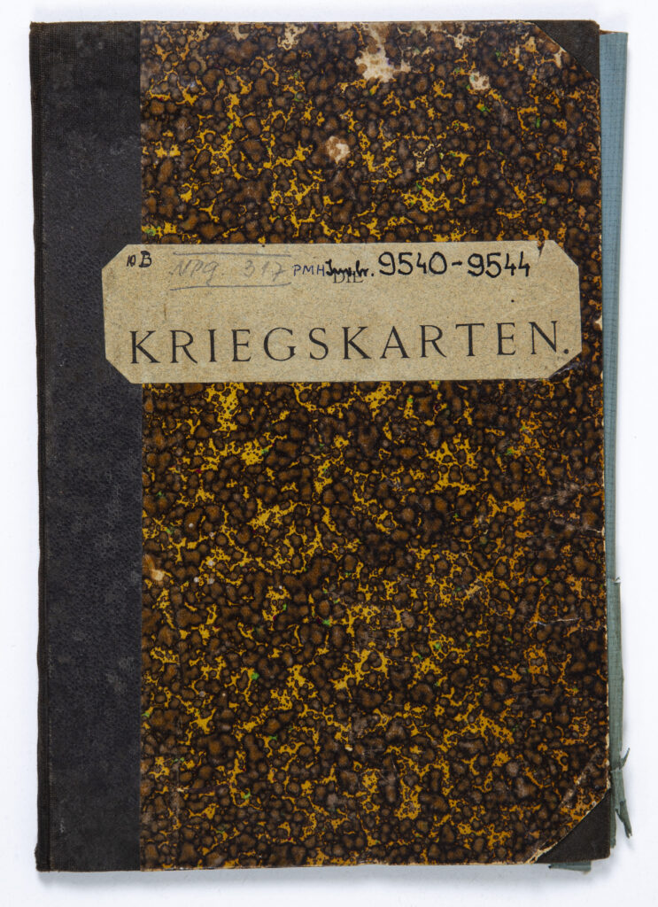
HPM/PMH-9540 – HPM/PMH-9544
This volume contains five topographic map sheets in various scales, depicting the area of the Austrian provinces Görz-Gradisca, Tyrol, and Carniola, and one sheet of the overview map of central and southeastern Europe with the Italian Peninsula from ‘Artaria’s Atlas for Schools [Bürgerschulen]’ by J. G. Rothaug, with a depiction of the application of various scales in cartography.

This volume contains five topographic map sheets in various scales, depicting the area of the Austrian provinces Görz-Gradisca, Tyrol, and Carniola, and one sheet of the overview map of central and southeastern Europe with the Italian Peninsula from ‘Artaria’s Atlas for Schools [Bürgerschulen]’ by J. G. Rothaug, with a depiction of the application of various scales in cartography.
This volume contains five topographic map sheets in various scales, depicting the area of the Austrian provinces Görz-Gradisca, Tyrol, and Carniola, and one sheet of the overview map of central and southeastern Europe with the Italian Peninsula from ‘Artaria’s Atlas for Schools [Bürgerschulen]’ by J. G. Rothaug, with a depiction of the application of various scales in cartography.
This volume contains five topographic map sheets in various scales, depicting the area of the Austrian provinces Görz-Gradisca, Tyrol, and Carniola, and one sheet of the overview map of central and southeastern Europe with the Italian Peninsula from ‘Artaria’s Atlas for Schools [Bürgerschulen]’ by J. G. Rothaug, with a depiction of the application of various scales in cartography.
This volume contains five topographic map sheets in various scales, depicting the area of the Austrian provinces Görz-Gradisca, Tyrol, and Carniola, and one sheet of the overview map of central and southeastern Europe with the Italian Peninsula from ‘Artaria’s Atlas for Schools [Bürgerschulen]’ by J. G. Rothaug, with a depiction of the application of various scales in cartography.
This volume contains five topographic map sheets in various scales, depicting the area of the Austrian provinces Görz-Gradisca, Tyrol, and Carniola, and one sheet of the overview map of central and southeastern Europe with the Italian Peninsula from ‘Artaria’s Atlas for Schools [Bürgerschulen]’ by J. G. Rothaug, with a depiction of the application of various scales in cartography.
This volume contains five topographic map sheets in various scales, depicting the area of the Austrian provinces Görz-Gradisca, Tyrol, and Carniola, and one sheet of the overview map of central and southeastern Europe with the Italian Peninsula from ‘Artaria’s Atlas for Schools [Bürgerschulen]’ by J. G. Rothaug, with a depiction of the application of various scales in cartography.