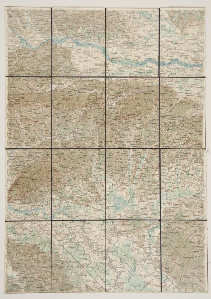
‘Zagreb–Varaždin’ Topographic Map Sheet in 1:200,000 Scale
Imperial and Royal Military Geographical Institute,
Vienna,
from 1850 to 1900
Paper on canvas, full colour print; 47 × 40,5 cm;
scale: 1:200,000;
on reverse of map: map key and round seal: ‘NEZAVISNA DRŽAVA HRVATSKA / MINISTARSTVO ORUŽANIH SNAGA / RATNI ARHIV’
Adopted from the War Archive and Museum of the ISC
Sheet of the topographic overview map ‘Zagreb–Varaždin’ in 1:200,000 scale depicting the area from Zagreb and its surroundings to Varaždin in the north.
Izvori / literatura: first publication
error: Sadržaj je zaštićen!
Hrvatski povijesni muzej
‘Zagreb–Varaždin’ Topographic Map Sheet in 1:200,000 Scale
Description:
Sheet of the topographic overview map ‘Zagreb–Varaždin’ in 1:200,000 scale depicting the area from Zagreb and its surroundings to Varaždin in the north.