Paper on canvas, full colour print; 57 × 37,5 cm; scale: 1:200,000; map title on reverse: ‘OLMÜTZ’
Found in the Museum
HPM/PMH-9931, HPM/PMH-9932/1-2
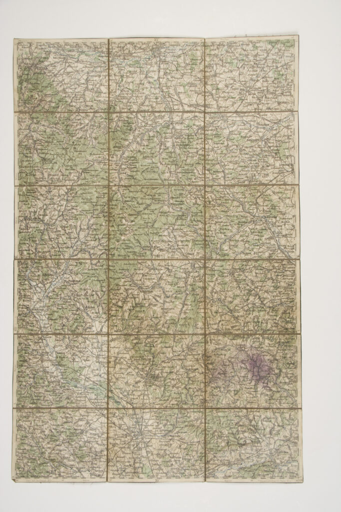
The sheets of this overview topographic map of the Austro-Hungarian Monarchy depict the area of western Bohemia, today Olomouc, with inscribed toponyms and road and railway networks.

The sheets of this overview topographic map of the Austro-Hungarian Monarchy depict the area of western Bohemia, today Olomouc, with inscribed toponyms and road and railway networks.
The sheets of this overview topographic map of the Austro-Hungarian Monarchy depict the area of western Bohemia, today Olomouc, with inscribed toponyms and road and railway networks.
The sheets of this overview topographic map of the Austro-Hungarian Monarchy depict the area of western Bohemia, today Olomouc, with inscribed toponyms and road and railway networks.
The sheets of this overview topographic map of the Austro-Hungarian Monarchy depict the area of western Bohemia, today Olomouc, with inscribed toponyms and road and railway networks.
The sheets of this overview topographic map of the Austro-Hungarian Monarchy depict the area of western Bohemia, today Olomouc, with inscribed toponyms and road and railway networks.
The sheets of this overview topographic map of the Austro-Hungarian Monarchy depict the area of western Bohemia, today Olomouc, with inscribed toponyms and road and railway networks.