This map depicts a part of the course of the Vistula river, from Warsaw downstream to Gdańsk in the north. The map was printed and folded in the form of a ‘harmonica’ for ease of use.
Izvori / literatura: first publication
error: Sadržaj je zaštićen!
Hrvatski povijesni muzej
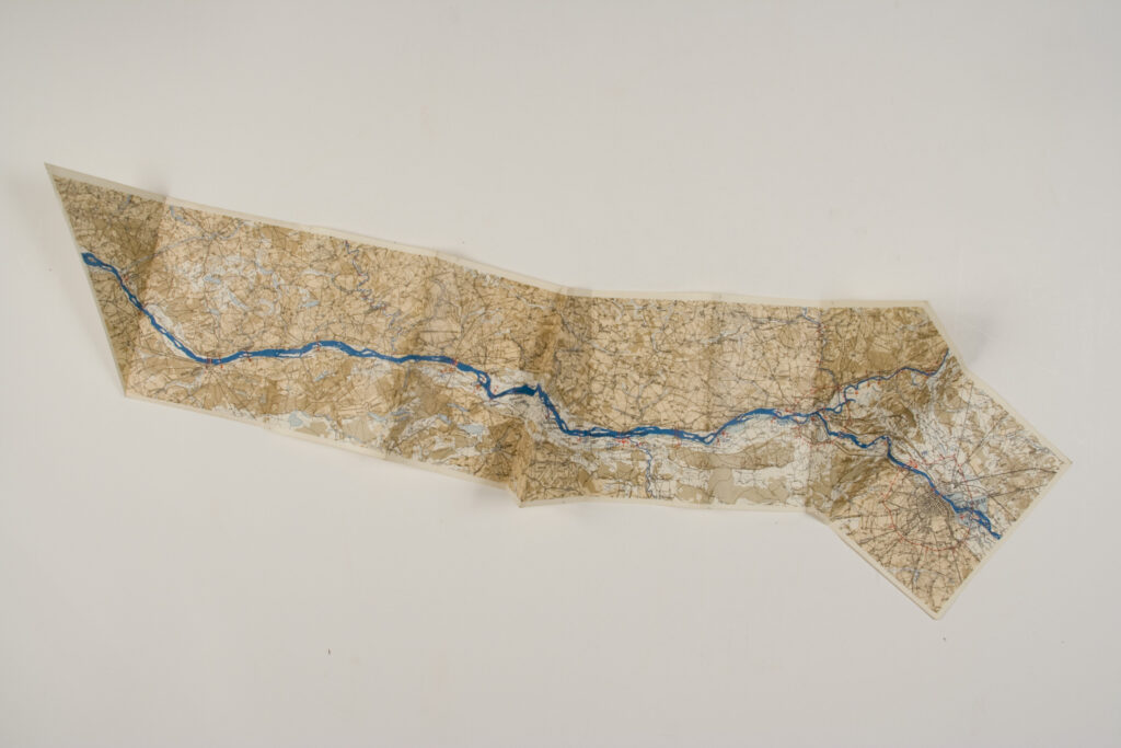
Overview Map of the Course of the Vistula River
Description:
This map depicts a part of the course of the Vistula river, from Warsaw downstream to Gdańsk in the north. The map was printed and folded in the form of a ‘harmonica’ for ease of use.