Publisher: Royal Automobile Club of Yugoslavia; reproduction: Military Geographical Institute,
Belgrade,
1939
Paper, full colour print; 63 × 83 cm;
scale: 1:100,000;
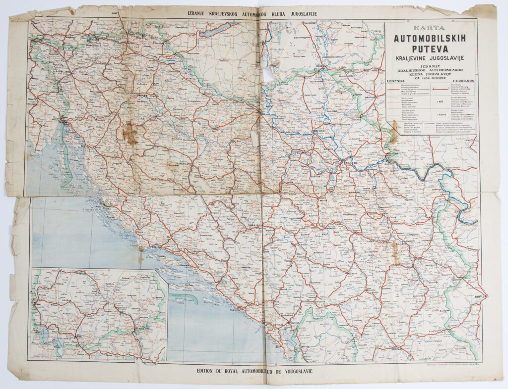
u. r.: title: ‘KARTA / AUTOMOBILSKIH / PUTEVA / KRALJEVINE JUGOSLAVIJE’, map scale, publisher data, and map key; above map frame: ‘IZDANJE KRALJEVSKOG AUTOMOBILSKOG KLUBA JUGOSLAVIJE’; below map frame: ‘EDITION DU ROYAL AUTOMOBILE-CLUB DE YOUGOSLAVIE’
Road map of the Kingdom of Yugoslavia with a detailed depiction of the road network and marked ‘main traffic routes’, ‘main routes’, ‘secondary routes’, ‘border customs offices’, and ‘routes under construction or difficult routes’ plus kilometre distance markings. A smaller cartographical depiction in the map’s lower right corner shows the continuation of the road network from Skopje to Thessalonica.
Sources / literature: first publication
error: Sadržaj je zaštićen!
Hrvatski povijesni muzej
Road Map of the Kingdom of Yugoslavia
Description:
Road map of the Kingdom of Yugoslavia with a detailed depiction of the road network and marked ‘main traffic routes’, ‘main routes’, ‘secondary routes’, ‘border customs offices’, and ‘routes under construction or difficult routes’ plus kilometre distance markings. A smaller cartographical depiction in the map’s lower right corner shows the continuation of the road network from Skopje to Thessalonica.
Inventory number:
HPM-PMH-22881_2
Croatian History Museum
Road Map of the Kingdom of Yugoslavia
Description:
Road map of the Kingdom of Yugoslavia with a detailed depiction of the road network and marked ‘main traffic routes’, ‘main routes’, ‘secondary routes’, ‘border customs offices’, and ‘routes under construction or difficult routes’ plus kilometre distance markings. A smaller cartographical depiction in the map’s lower right corner shows the continuation of the road network from Skopje to Thessalonica.