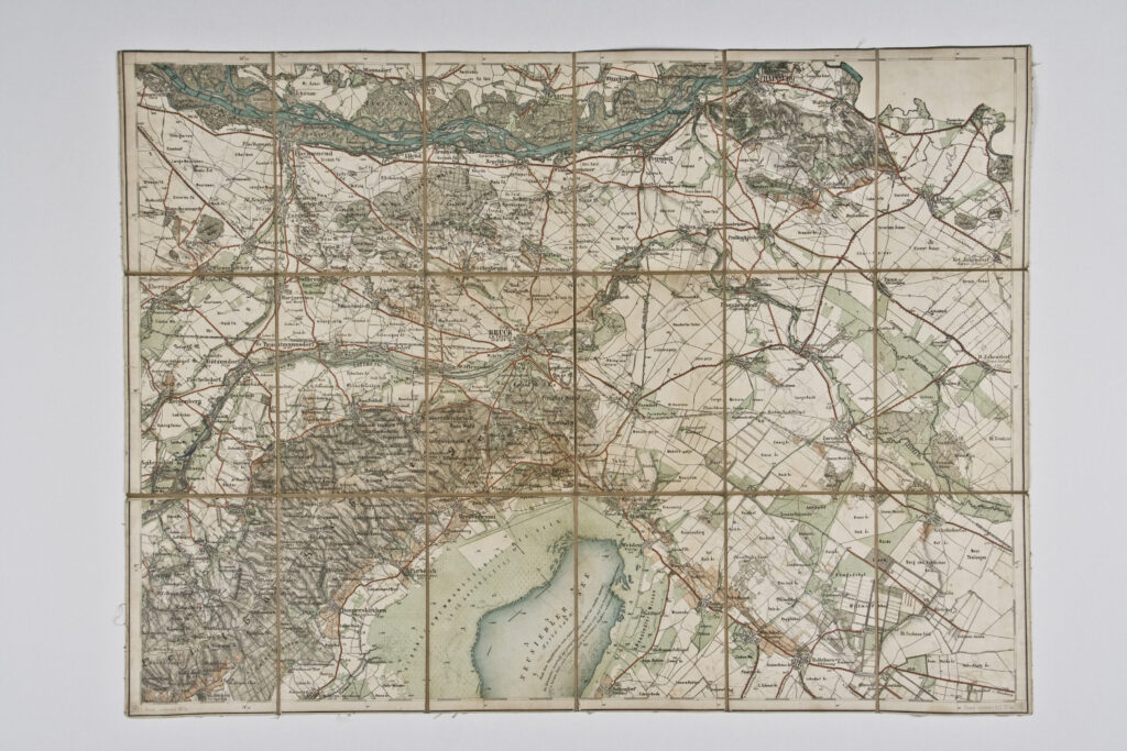
Paper on canvas, full colour print; 47,5 × 64,5 cm; scale: undefined;
Received from the 16th Imperial and Royal Varaždin Infantry Regiment
HPM/PMH-9959
Topographic map sheet of Bruck an der Leitha depicting the immediate and broader town area.