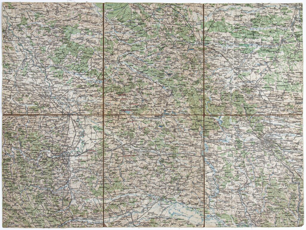
Imperial and Royal Military Geographical Institute,
Vienna,
from 1850 to 1900
Paper on canvas, full colour print; 49.8 x 66.5 cm;
scale: 1:200,000;
notes on reverse of map: ‘Grodek.’, ‘K.u.k. militär-geographisches Institut. / Vervielfältigung vorbehalten.’
Received from the 16th Imperial and Royal Varaždin Infantry Regiment