This special (topographic) map sheet depicts a part of the territory of central Bosnia and Herzegovina, with larger towns such as Skender Vakuf (today Kneževo) and Travnik.
Sources / literature: first publication
error: Sadržaj je zaštićen!
Hrvatski povijesni muzej
Topographic Map of Part of Central Bosnia and Herzegovina
Description:
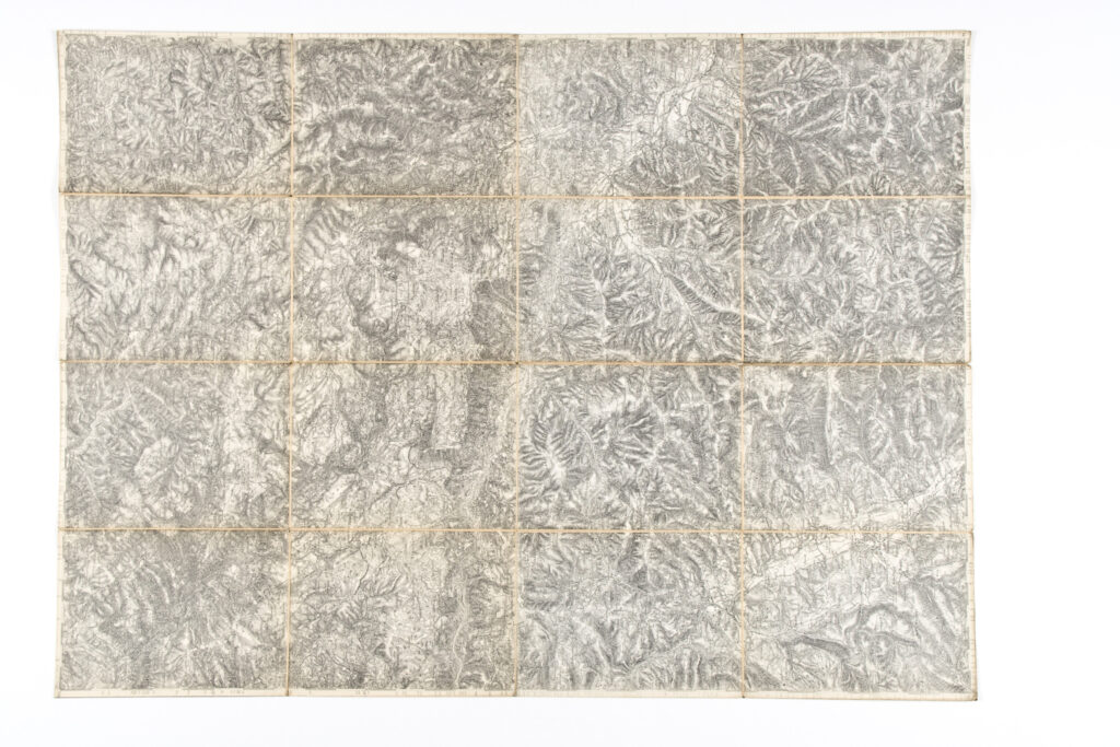
This special (topographic) map sheet depicts a part of the territory of central Bosnia and Herzegovina, with larger towns such as Skender Vakuf (today Kneževo) and Travnik.
Inventory number:
HPM/PMH-30762
Croatian History Museum
Topographic Map of Part of Central Bosnia and Herzegovina
Description:
This special (topographic) map sheet depicts a part of the territory of central Bosnia and Herzegovina, with larger towns such as Skender Vakuf (today Kneževo) and Travnik.