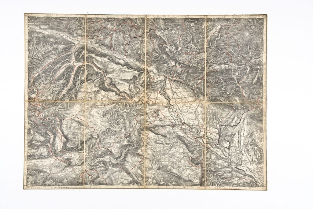
The predominantly mountainous area of northern Slovenia, including the town Radmannsdorf (today Radovljica), is depicted on this 1:75,000 scale special (topographic) map sheet.
Izvori / literatura: first publication
error: Sadržaj je zaštićen!
Hrvatski povijesni muzej
Topographic Map of Part of Northern Slovenia
Description:
The predominantly mountainous area of northern Slovenia, including the town Radmannsdorf (today Radovljica), is depicted on this 1:75,000 scale special (topographic) map sheet.