HRVATSKI POVIJESNI
MUZEJ

Topographic Map of Saaz and Komotau with the Surrounding Towns

Imperial and Royal Military Geographical Institute, Vienna, from 1850 to 1900

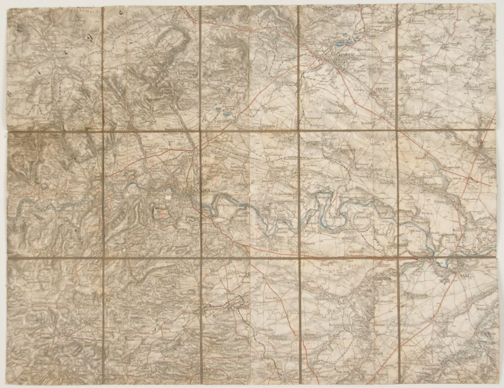
Paper on canvas, lithography; 36,5 × 47 cm; scale: 1:75,000;

Inherited from the War Archive and Museum of the ISC

HPM/PMH-24790

Special (topographic) map sheet depicting the Saaz and Komotau (today Žatec and Chomutov) area in northern Bohemia.

Izvori / literatura: first publication
error: Sadržaj je zaštićen!

Hrvatski povijesni muzej