CROATIAN HISTORY
MUSEUM

Topographic Map of St Pölten and Tulln

Imperial and Royal Military Geographical Institute, Vienna, from 1850 to 1900

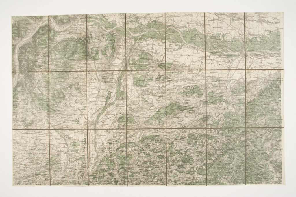
Paper on canvas, print; 48,5 × 77,5 cm; scale: 1:75,000;

Inherited from the War Archive and Museum of the ISC

HPM/PMH-24804

The area of St Pölten and Tulln (today Sankt Pölten and Tulln an der Donau) is depicted on this special (topographic) map sheet in 1:75,000 scale.

Sources / literature: first publication
The e-catalog is co-financed by the Ministry of Culture and Media of the Republic of Croatia and the City of Zagreb.
2021. © Croatian history museum. All rights reserverd. | Impressum
Digital development: Artelekt Media
error: Sadržaj je zaštićen!

Hrvatski povijesni muzej

Croatian History Museum