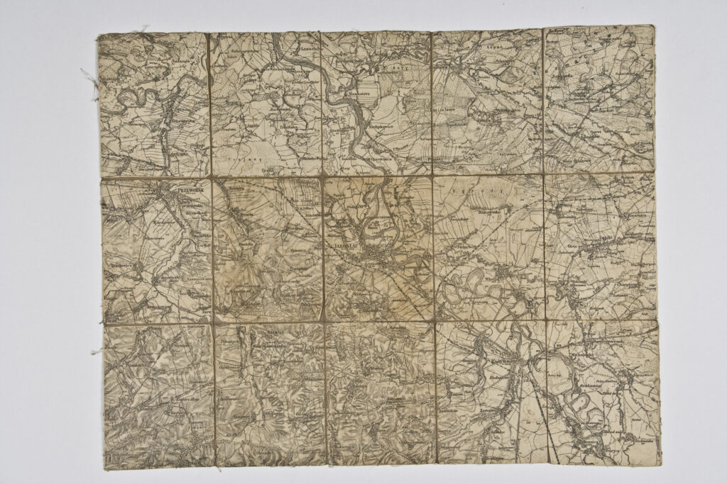
Paper on canvas, print; 39,5 × 50 cm; scale: 1:75,000; on reverse of map: ‘K.u.k. militär-geographisches Institut. / Vervielfältigung vorbehalten.’
Inherited from the War Archive and Museum of the ISC
HPM/PMH-19747
Special topographic map sheet depicting a part of Galicia, the area around Jarosław and Przeworsk.