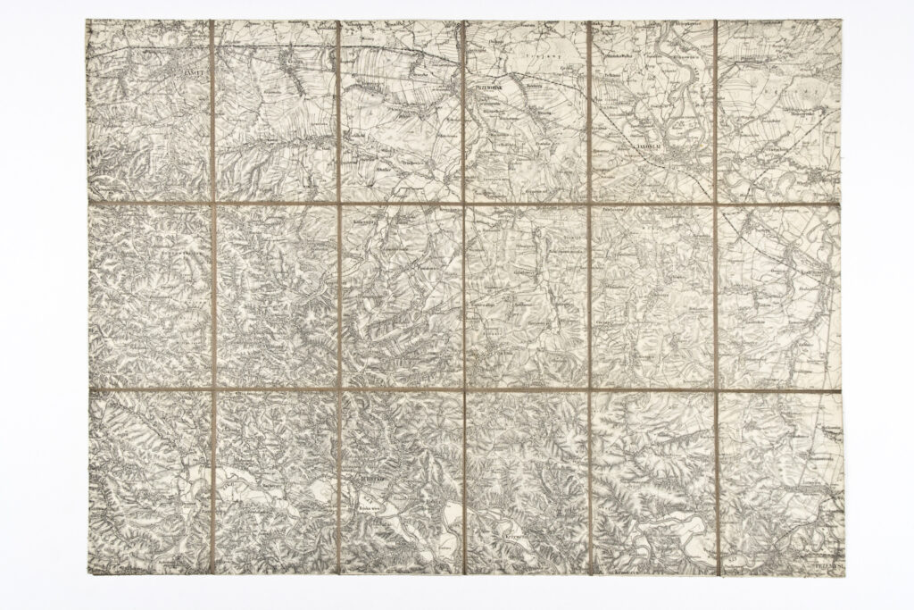
Topographic Map of the Jarosław Area and its Surroundings
Imperial and Royal Military Geographical Institute,
Vienna,
1891
Paper on canvas, print; 49 × 66,5 cm;
scale: 1:75,000;
note on reverse of map: ‘Specialkarte zu den / Schluſsmanövern / des 10. Corps 1891’; map key and publisher data: ‘K.u.k. militär-geographisches Institut. / Vervielfältigung vorbehalten.’
This special topographic map sheet of southeastern Poland depicts the area of Jarosław and its surroundings. The map was produced for the needs of the military exercises of the X Corps in 1891.
Sources / literature: first publication
error: Sadržaj je zaštićen!
Hrvatski povijesni muzej
Topographic Map of the Jarosław Area and its Surroundings
Description:
This special topographic map sheet of southeastern Poland depicts the area of Jarosław and its surroundings. The map was produced for the needs of the military exercises of the X Corps in 1891.
Inventory number:
HPM/PMH-11966
Croatian History Museum
Topographic Map of the Jarosław Area and its Surroundings
Description:
This special topographic map sheet of southeastern Poland depicts the area of Jarosław and its surroundings. The map was produced for the needs of the military exercises of the X Corps in 1891.