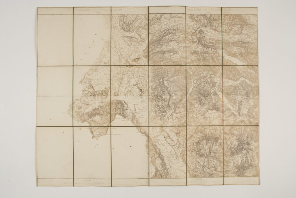
Topographic Map of the Surroundings of Salzburg and Upper Austria
Imperial and Royal Military Geographical Institute,
Vienna,
from 1850 to 1900
Paper on canvas, photocopy; 51 × 64 cm;
scale: undefined;
u. l.: map nomenclature: ‘Gradkartenblatt Zone 14 Colonne XIII Section SW / SALZBURG’; u. r.: map nomenclature: ‘Gradkartenblatt Zone 14 Colonne XIII Section SO / SALZBURG OBER ÖSTERREICH’; on reverse of map: ‘Salzburg / mit Umgebung…’
Inherited from the War Archive and Museum of the ISC
Special (topographic) map depicting the surroundings of Salzburg and a part of Upper Austria. It consists of several different map sheets, each of which is separately marked.
Izvori / literatura: first publication
error: Sadržaj je zaštićen!
Hrvatski povijesni muzej
Topographic Map of the Surroundings of Salzburg and Upper Austria
Description:
Special (topographic) map depicting the surroundings of Salzburg and a part of Upper Austria. It consists of several different map sheets, each of which is separately marked.