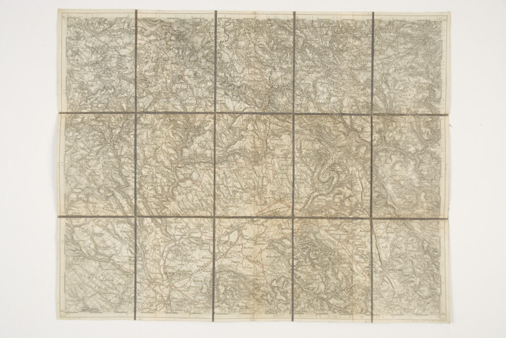
Special (topographic) map sheet depicting the surroundings of Turnau (today Turnov), from Münchengratz (today Mnichovo Hradištĕ) in the south to Gablonz (today Jablonec nad Nisou) in the north.
Izvori / literatura: first publication
error: Sadržaj je zaštićen!
Hrvatski povijesni muzej
Topographic Map of the Turnau Area
Description:
Special (topographic) map sheet depicting the surroundings of Turnau (today Turnov), from Münchengratz (today Mnichovo Hradištĕ) in the south to Gablonz (today Jablonec nad Nisou) in the north.