HRVATSKI POVIJESNI
MUZEJ

Topographic Map Sheet of the Austro-Hungarian Monarchy ‘Josefstadt’

Imperial and Royal Military Geographical Institute, Vienna, from 1850 to 1900

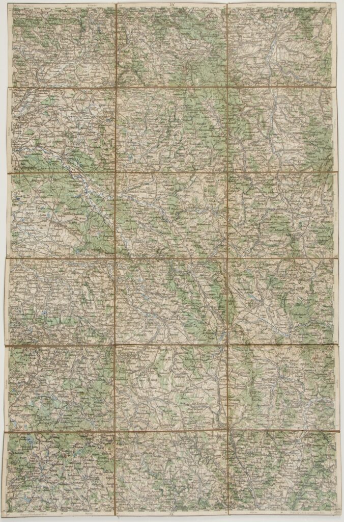
Paper on canvas, full colour print; 57 × 37,5 cm; scale: 1:200,000; map title on reverse: ‘JOSEFSTADT’

Found in the Museum

HPM/PMH-9930

Overview sheet of a topographic map of the area of Josefstadt (today Josefov).

Izvori / literatura: first publication
error: Sadržaj je zaštićen!

Hrvatski povijesni muzej