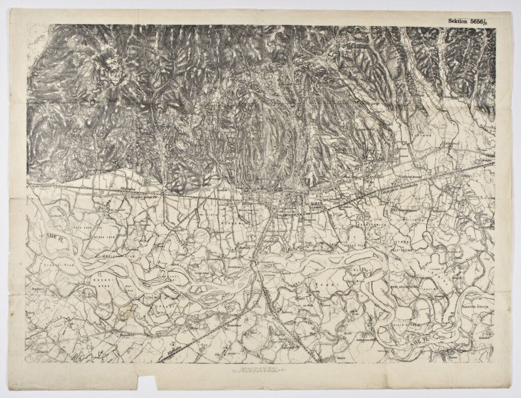
Detailed topographic map sheet depicting the centre and surroundings of Zagreb. Among other things, the Austrian southern railway (‘Südbahn’) and Hungarian state railway (‘Ungarische Staatsbahn’) lines are marked on it.
Sources / literature: first publication
error: Sadržaj je zaštićen!
Hrvatski povijesni muzej
Topographic Map Sheet of Zagreb
Description:
Detailed topographic map sheet depicting the centre and surroundings of Zagreb. Among other things, the Austrian southern railway (‘Südbahn’) and Hungarian state railway (‘Ungarische Staatsbahn’) lines are marked on it.
Inventory number:
HPM/PMH-9549
Croatian History Museum
Topographic Map Sheet of Zagreb
Description:
Detailed topographic map sheet depicting the centre and surroundings of Zagreb. Among other things, the Austrian southern railway (‘Südbahn’) and Hungarian state railway (‘Ungarische Staatsbahn’) lines are marked on it.