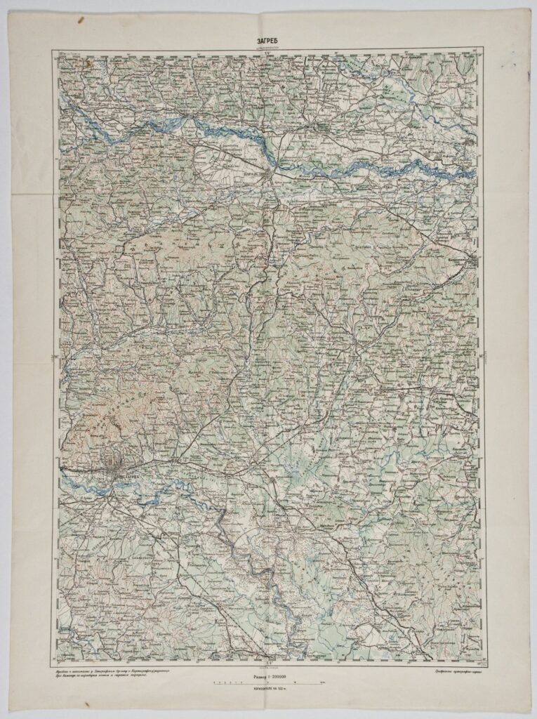
‘Zagreb’ Sheet from the Special Map of the Austro-Hungarian Monarchy
Military Geographical Institute,
Belgrade,
1917
Paper, full colour print; 63,8 × 47,5;
scale: 1:200,000;
sheet title and nomenclature above frame: ‘ZAGREB’; l. l.: ‘Izrađeno i štampano u Topografskom Odelenju u Kartografskoj radionici / Vrh. Komande, po najnovijim našim i stranim podacima.’; l. r.: Privremeno autografsko izdanje.’
The ‘Zagreb’ sheet was most likely taken from the special (topographic) map of the Austro-Hungarian Monarchy (‘Spezialkarte der Osterreichisch-Ungarischen Monarchie’) in 1:75,000 scale, and reprinted in the 1912–1920 period, when the Military Geographical Institute was known as the Topographic Section of the High Command.
Sources / literature: Bakrač, Radojčić, Sekulović: 2016, p. 394.
error: Sadržaj je zaštićen!
Hrvatski povijesni muzej
‘Zagreb’ Sheet from the Special Map of the Austro-Hungarian Monarchy
Description:
The ‘Zagreb’ sheet was most likely taken from the special (topographic) map of the Austro-Hungarian Monarchy (‘Spezialkarte der Osterreichisch-Ungarischen Monarchie’) in 1:75,000 scale, and reprinted in the 1912–1920 period, when the Military Geographical Institute was known as the Topographic Section of the High Command.
Inventory number:
HPM-32558
Croatian History Museum
‘Zagreb’ Sheet from the Special Map of the Austro-Hungarian Monarchy
Description:
The ‘Zagreb’ sheet was most likely taken from the special (topographic) map of the Austro-Hungarian Monarchy (‘Spezialkarte der Osterreichisch-Ungarischen Monarchie’) in 1:75,000 scale, and reprinted in the 1912–1920 period, when the Military Geographical Institute was known as the Topographic Section of the High Command.