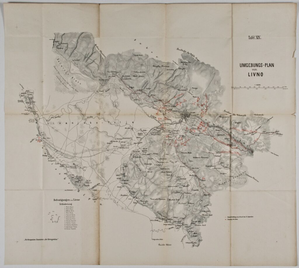
Paper, print; ; scale: 1:40,000; u. r.: sheet label: ‘Tafel XIX.’ and plan title: ‘UMGEBUNGS-PLAN / von / LIVNO’; l. l.: list of fortifications in the Livno area with note: ‘Die Occupation Bosnien u. der Hercegovina’; l. r.: plan key
Found in the Museum
HPM/PMH-9635
Map of the surroundings of Livno, depicting the deployment of Austro-Hungarian units during the occupation of Bosnia and Herzegovina. On 28 October 1878, the Austro-Hungarian army captured the town of Livno, denying the rebel army an important strategic stronghold in western Bosnia. The capture of Livno, Bihać, and Kladuša in the Krajina region marked the end of the campaign to occupy Bosnia and Herzegovina, which had lasted for almost three months.
Map of the surroundings of Livno, depicting the deployment of Austro-Hungarian units during the occupation of Bosnia and Herzegovina. On 28 October 1878, the Austro-Hungarian army captured the town of Livno, denying the rebel army an important strategic stronghold in western Bosnia. The capture of Livno, Bihać, and Kladuša in the Krajina region marked the end of the campaign to occupy Bosnia and Herzegovina, which had lasted for almost three months.
Map of the surroundings of Livno, depicting the deployment of Austro-Hungarian units during the occupation of Bosnia and Herzegovina. On 28 October 1878, the Austro-Hungarian army captured the town of Livno, denying the rebel army an important strategic stronghold in western Bosnia. The capture of Livno, Bihać, and Kladuša in the Krajina region marked the end of the campaign to occupy Bosnia and Herzegovina, which had lasted for almost three months.