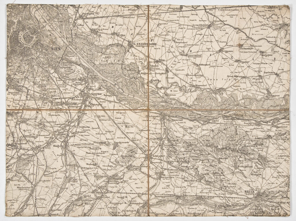
This special topographic map sheet in 1:75,000 scale depicts the area of Vienna with the larger surrounding towns and cities, such as Bruck (today Bruck an der Leitha) and G. Ensersdorf (today Gänsersdorf), and the railway network.
Izvori / literatura: first publication
error: Sadržaj je zaštićen!
Hrvatski povijesni muzej
Topographic Map of the Surroundings of Vienna
Description:
This special topographic map sheet in 1:75,000 scale depicts the area of Vienna with the larger surrounding towns and cities, such as Bruck (today Bruck an der Leitha) and G. Ensersdorf (today Gänsersdorf), and the railway network.