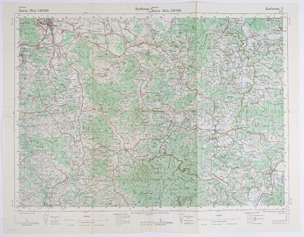
‘Karlovac’ Sheet from the Topographic Map of the Yugoslav People’s Army
Military Geographical Institute,
Belgrade,
from 1968 to 1969
Paper, full colour print; 67,6 × 87,6 cm;
scale: 1:50,000;
u. l.: map labels: ‘Službeno / Karta JNA 1:50 000’; above frame: sheet name and nomenclature: ‘Službeno / Karlovac 1 / 370/1 / Karta JNA 1:50 000’; u. r.: ‘Karlovac 2 / 370/2’; l. l.: note: ‘Kopiranje i umnožavanje zabranjeno’; below frame: map scale, data on cartographical sources in 1:25,000 scale, publisher, year of publication, and sheet numbers
Combined sheets ‘Karlovac 1’ and ‘Karlovac 2’ of the detailed topographic map of the Yugoslav People’s Army, depicting the area from Karlovac to Pokupsko in the north and to Veljun and Topusko in the south. The map was formerly the property of Andrija Rašeta.
Izvori / literatura: first publication
error: Sadržaj je zaštićen!
Hrvatski povijesni muzej
‘Karlovac’ Sheet from the Topographic Map of the Yugoslav People’s Army
Description:
Combined sheets ‘Karlovac 1’ and ‘Karlovac 2’ of the detailed topographic map of the Yugoslav People’s Army, depicting the area from Karlovac to Pokupsko in the north and to Veljun and Topusko in the south. The map was formerly the property of Andrija Rašeta.