Paper, print; 54 × 42,8 cm; scale: 1:75,000; each map contains sheet name and nomenclature; individual sheets contain map keys
Donated in 2007
HPM-83733 – HPM-83752
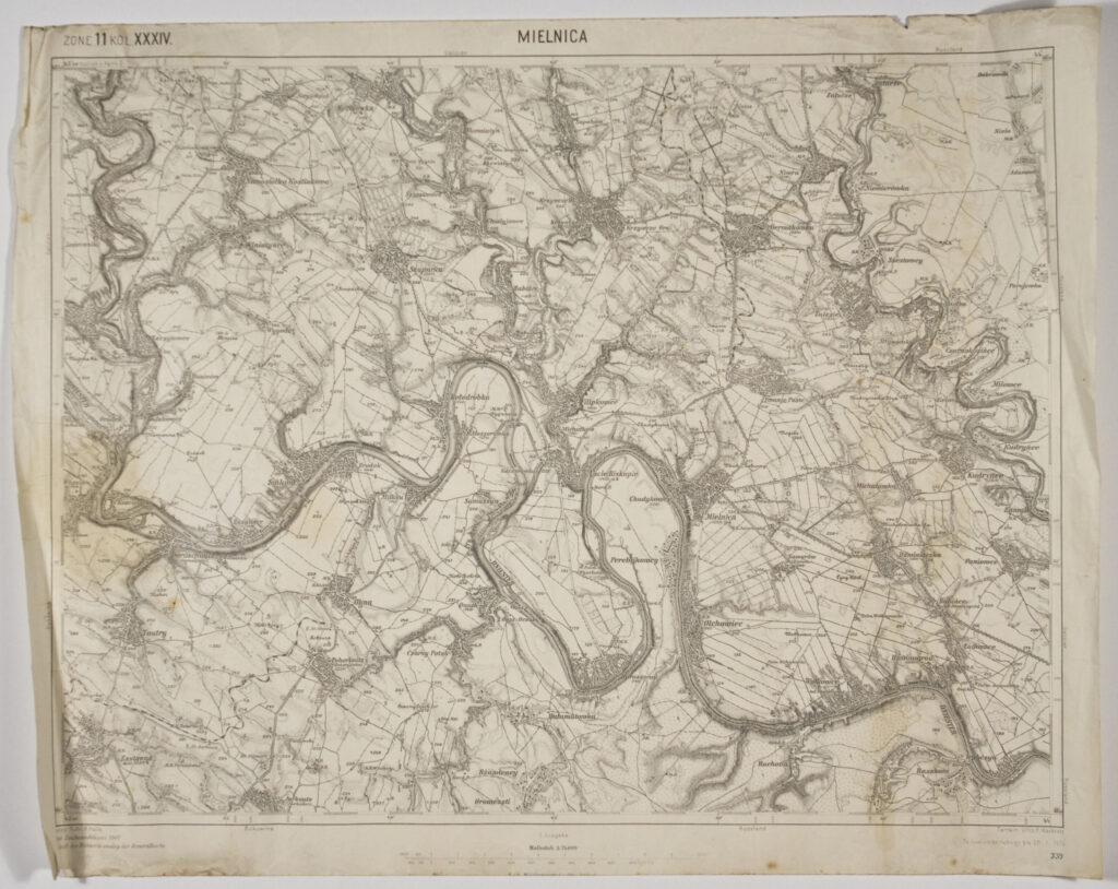
Twenty sections of a special (topographic) map of the Austro-Hungarian Monarchy ‘Spezialkarte der Osterreichisch-Ungarischen Monarchie’ depicting the area of Galicia and Bukovina, where the 25th Zagreb and 26th Karlovac Home Guard regiments were deployed during World War I. The maps were formerly the property of Home Guard officer Ivan Henneberg, a participant of World War I.
Area of Galicia: