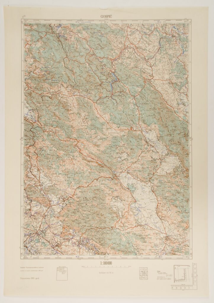
Sections of Topographic Maps of the Federal People’s Republic of Yugoslavia in 1:100,000 Scale
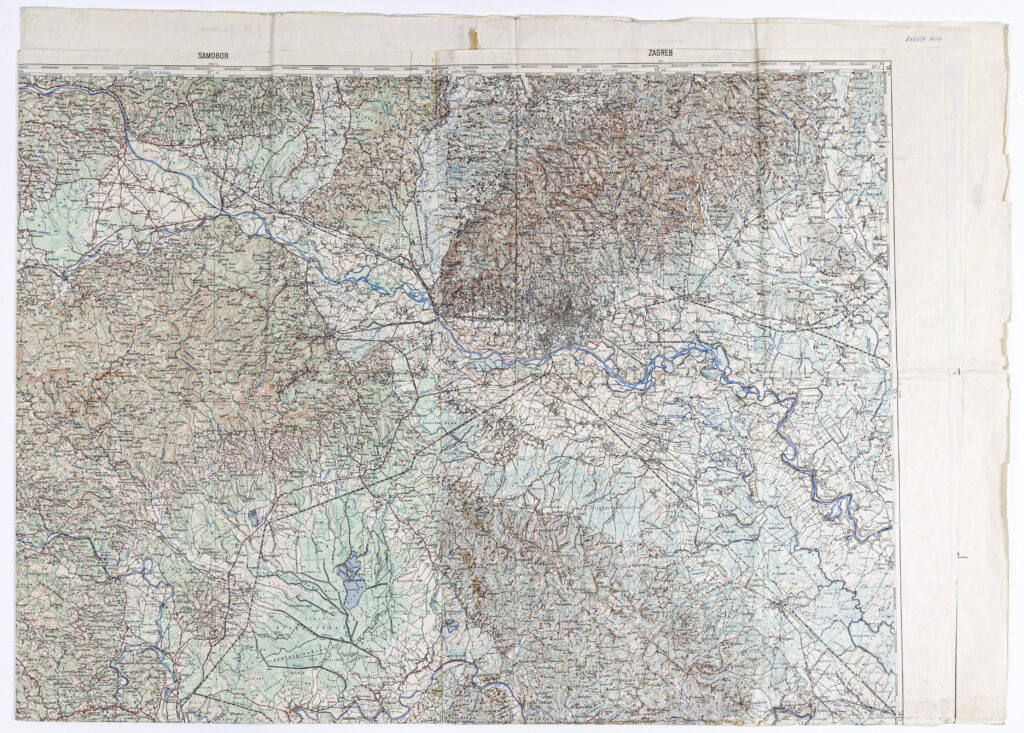
‘Cerknica’–‘Novo Mesto’–‘Zagreb’–‘Samobor’–‘Sušak’–‘Ogulin’ Sheet from the Topographic Map of the Kingdom of Yugoslavia
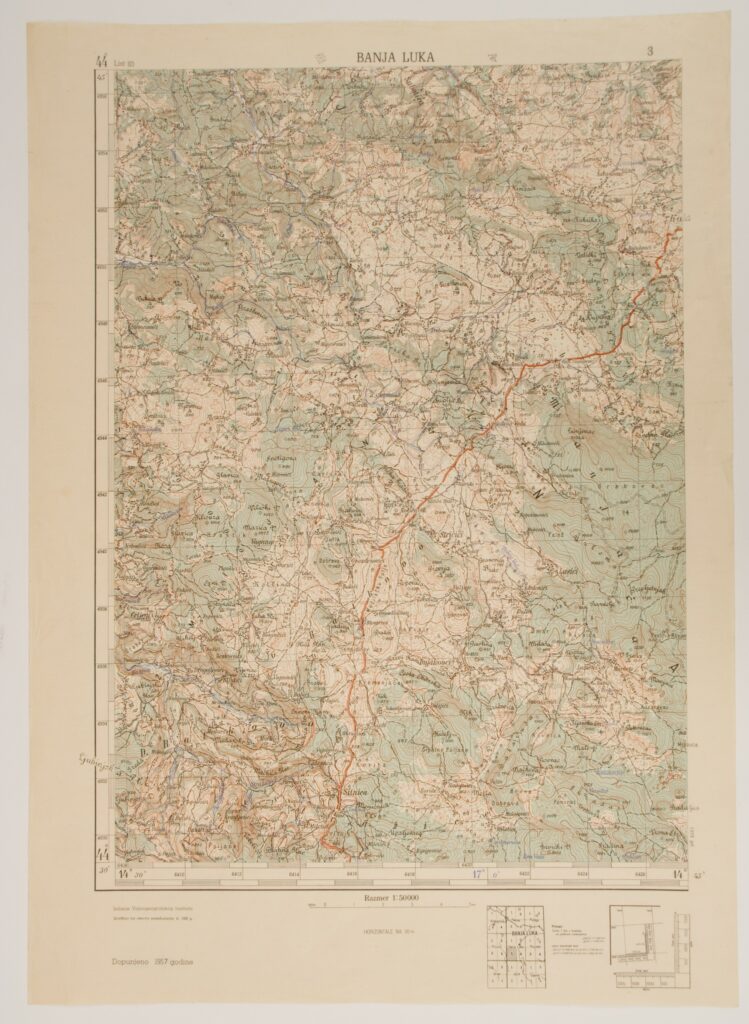
Sections of Topographic Maps of the Federal People’s Republic of Yugoslavia in 1:50,000 Scale
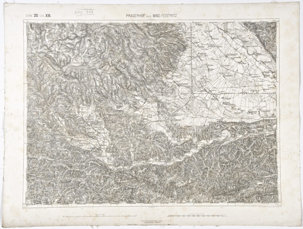
Special Map of the Austro-Hungarian Monarchy