Paper, full colour print; from 68.5 x 48.5 cm to 68.5 x 49 cm; scale: 1:50,000; l. l. on individual sheets: ‘Izdanje Vojnogeografskog instituta’; ‘Izdanje Geografskog instituta JNA.’; map scale below frame
Donated
HPM-88636 – HPM-88695, HPM-88898 – HPM-88913, HPM-88917 – HPM-88934, HPM-88937 – HPM-88991, HPM-89084 – HPM-89104, HPM-105948 – HPM-105949
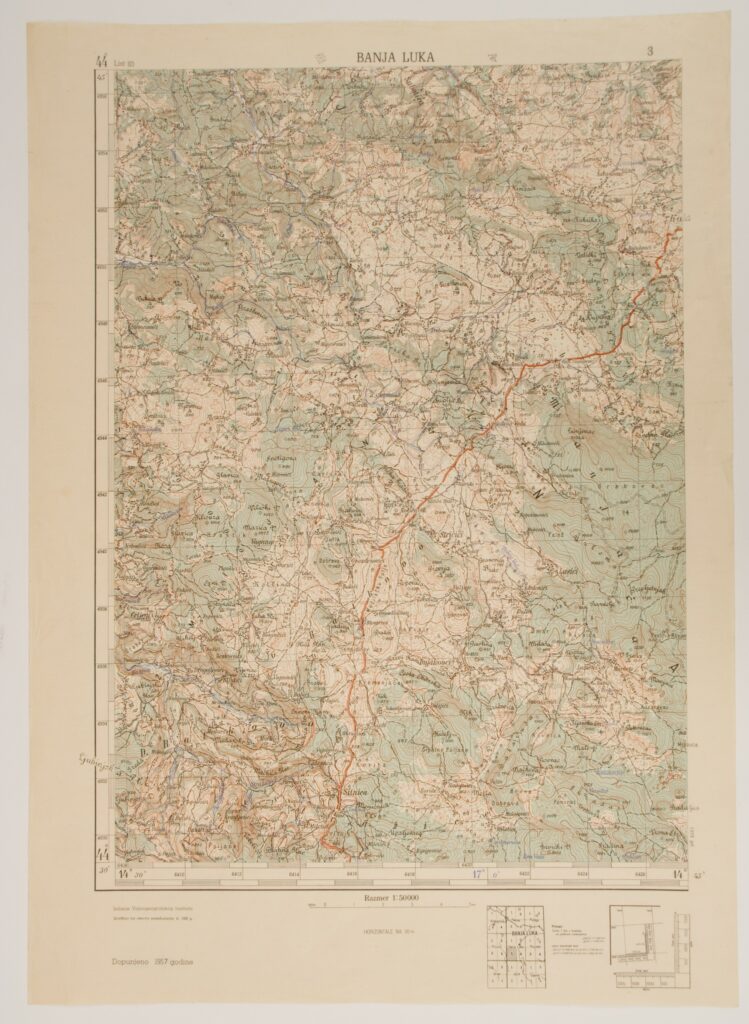
One hundred and seventy-two sheets of topographic maps depicting the territory of the Federal People’s Republic of Yugoslavia, made on the basis of the revision of the 1920s and 1930s, together with the supplemented editions from the 1950s and 1960s. The majority of the sheets of the topographic maps were donated (HPM-88898 – HPM-88913, HPM-88917 – HPM-88934, HPM-88937 – HPM-88990, HPM-105948 – HPM-105949) while smaller number were found in the museum (HPM-88636 – HPM-88695, HPM-88991, HPM-89084 – HPM-89104). After the Kingdom of Serbs, Croats and Slovenes was established on 1 December 1918, the need to conduct a full-scale territorial survey arose, and new topographic maps in 1:50,000 and 1:100,000 scale were produced under the supervision of the Military Geographical Institute of the Kingdom of Serbs, Croats and Slovenes. In 1923, the military-cartographical institution dropped the territorial determinant from its official name and began to operate under the name Military Geographical Institute. In the 1951–1961 period, the Institute operated as the Geographical Institute of the Yugoslav People’s Army, and finally changed its name to Military Geographical Institute in late 1961.
HPM-88636