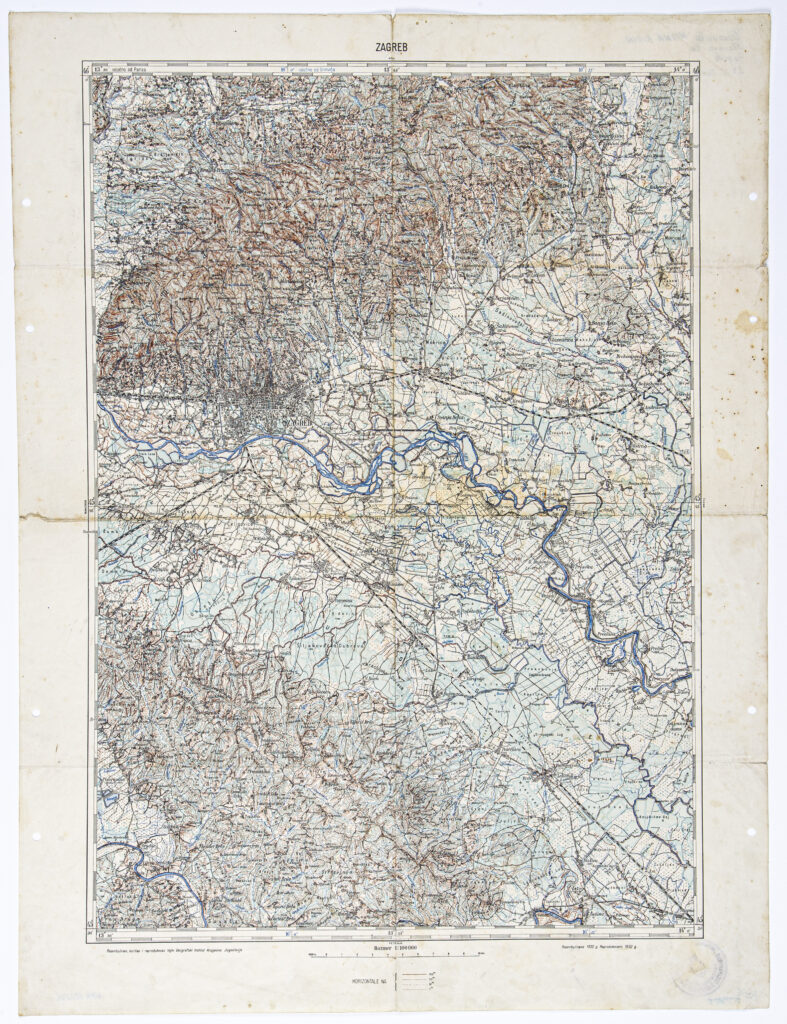
‘Zagreb’ Sheet from the Topographic Map of the Kingdom of Yugoslavia
Military Geographical Institute,
Belgrade,
1932
Paper, full colour print; 64,6 × 49 cm;
scale: 1:100,000;
sheet name and nomenclature: ‘ZAGREB’; l. l.: ‘Reambulirao, iscrtao i reprodukovao Vojni Geografski Institut Kraljevine Jugoslavije’; ‘Reambulirano 1930 g. // Reproduktovano 1932 g.’; round seal on reverse of map: ‘ZAPOVJEDNIČTVO DOMOBRANSKE ZASTAVNIČKE ŠKOLE / NEZAVISNA DRŽAVA HRVATSKA’; ref. no. in corner of map: ‘Mato Halauš II A Tečaj’
The ‘Zagreb’ sheet was made and printed from a detailed topographic map of the Kingdom of Yugoslavia in 1:100,000 scale. The map was made using topographic surveys conducted according to the common geodetic basis, in 1:50,000 scale, on the entire territory of the Kingdom of Yugoslavia.
Izvori / literatura: first publication
error: Sadržaj je zaštićen!
Hrvatski povijesni muzej
‘Zagreb’ Sheet from the Topographic Map of the Kingdom of Yugoslavia
Description:
The ‘Zagreb’ sheet was made and printed from a detailed topographic map of the Kingdom of Yugoslavia in 1:100,000 scale. The map was made using topographic surveys conducted according to the common geodetic basis, in 1:50,000 scale, on the entire territory of the Kingdom of Yugoslavia.